Barrancos Encantados


It wasn't that easy to find the "canyons". We drove hours and were searching for any information to get there. Finally I found a blog with a map that was leading us there before sunset. So here you'll find the way and hopefully it can save your time ;)
We came there following the FV-10, that goes from La Oliva to El Cotillo. At the traffic roundabout, where FV-10 passes FV-109 we followed the sign to El Cotillo. After 850m we turned left into a gravel road where a big sign with Information about the natural park stands (green cross on the map).
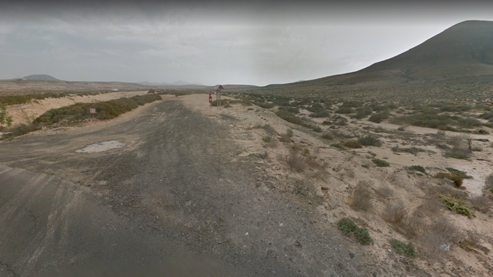
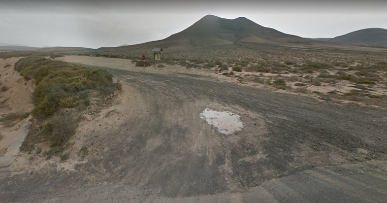
We followed this "road" that suddenly went straight downhill and became a dry sandy river.After 2 kilometres it branched off into three roads and we took the right one (marked as a star on my GoogleMaps map if you scroll down). and parked the car.
We were with a normal car but a Jeep would have been better - without the fear ,the car could break ^^
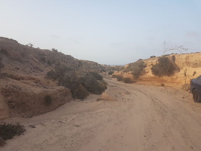
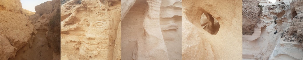
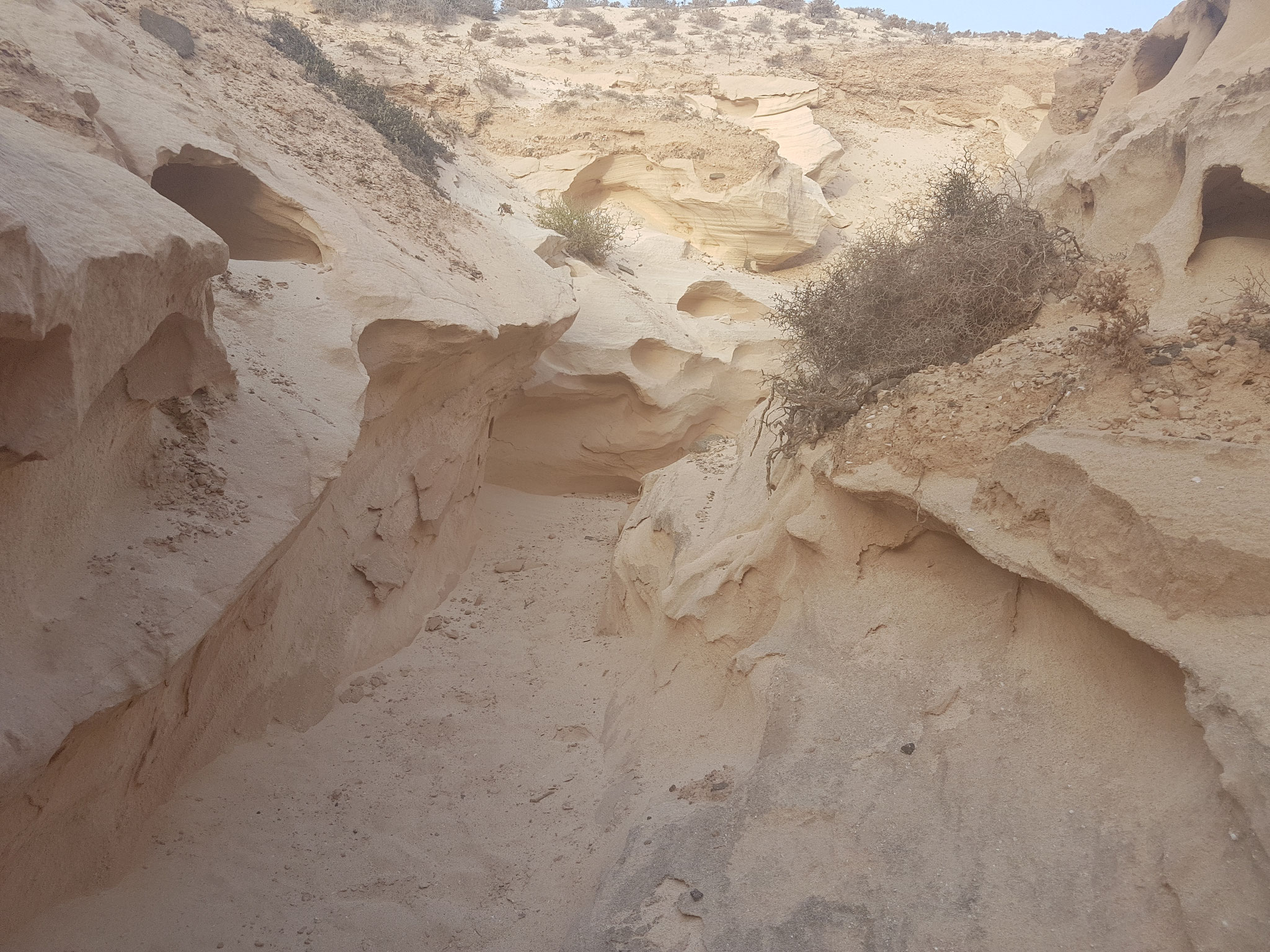
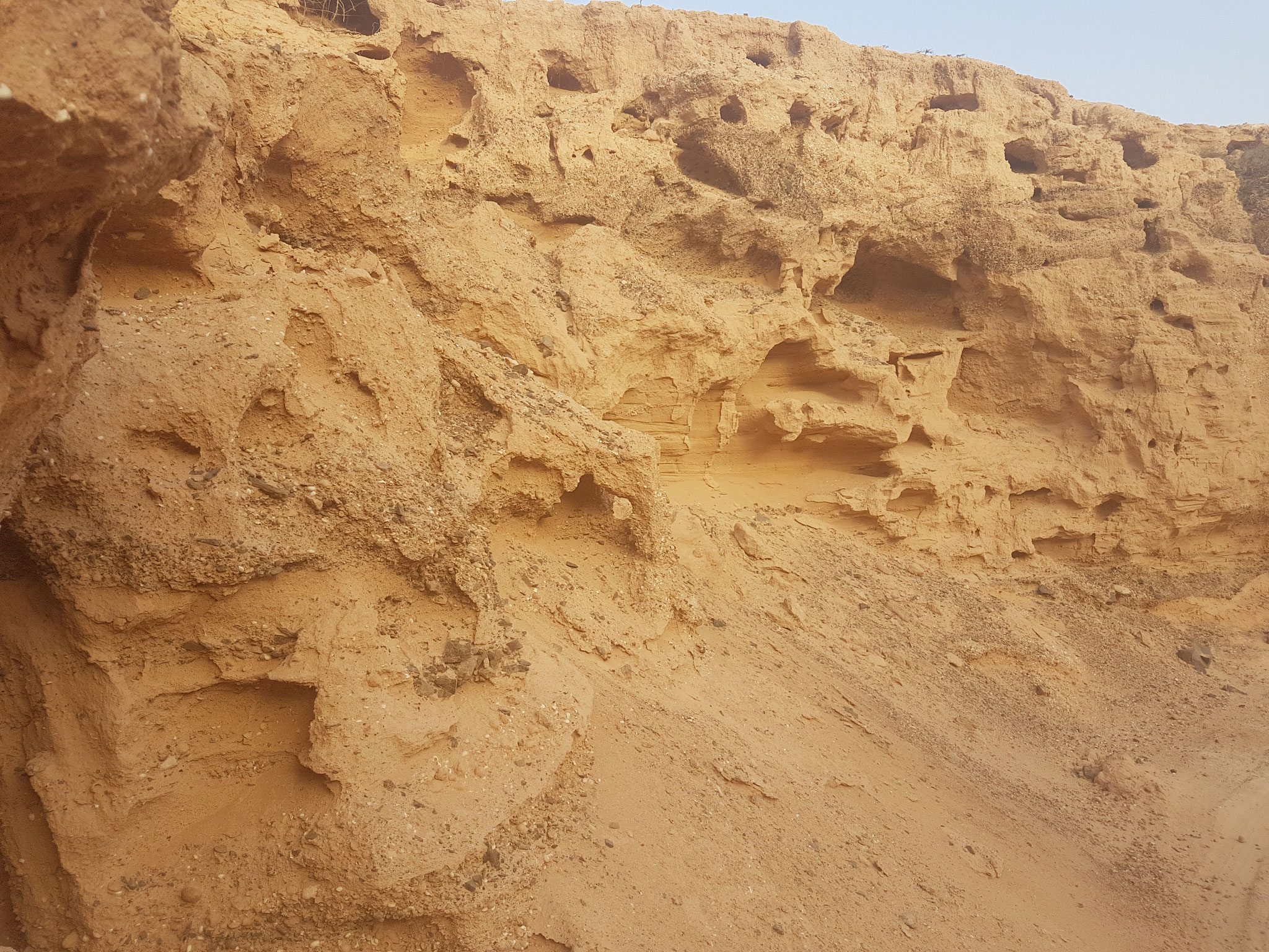
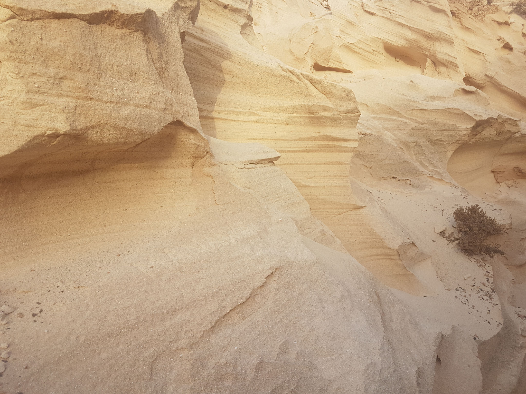
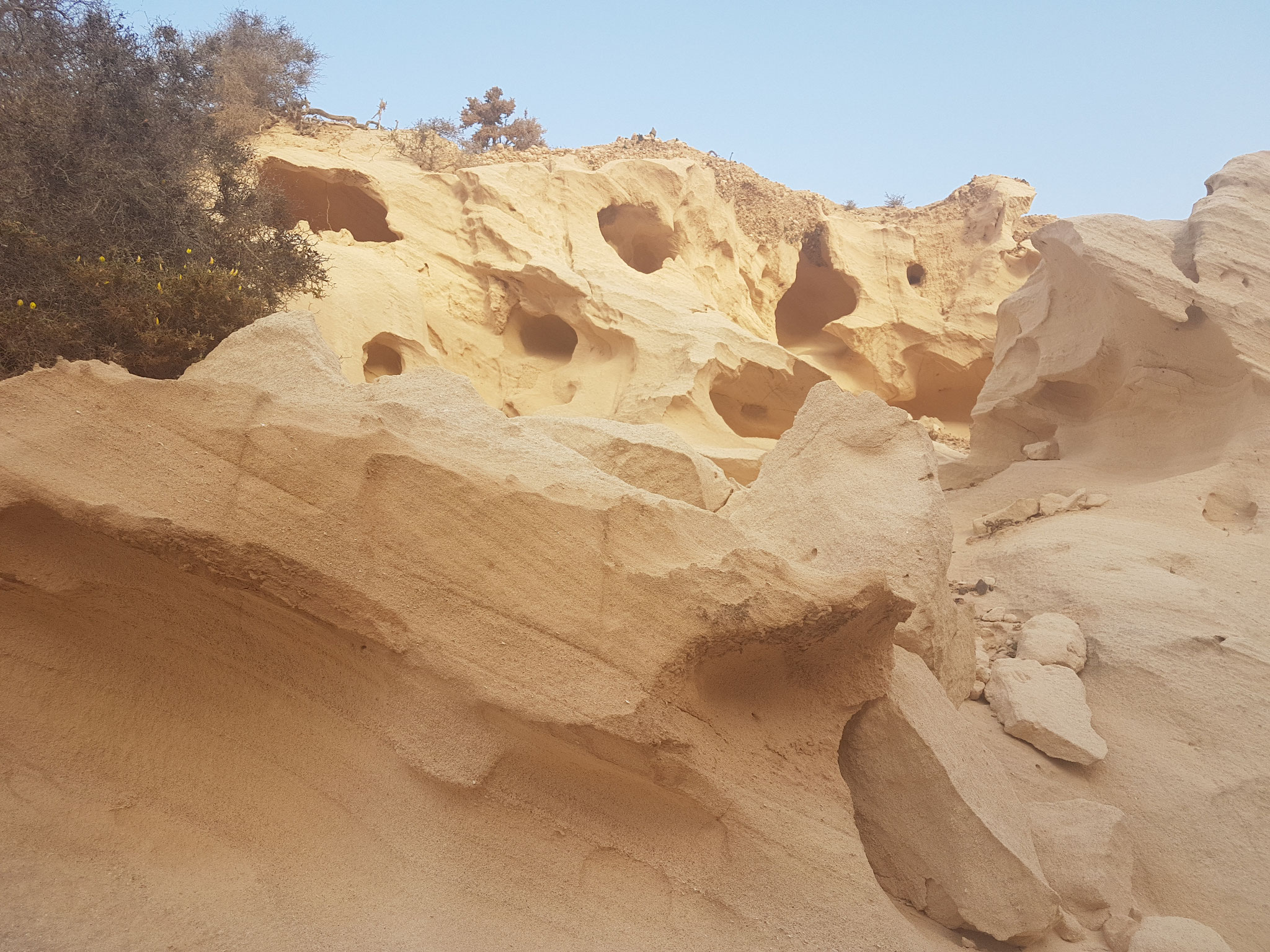
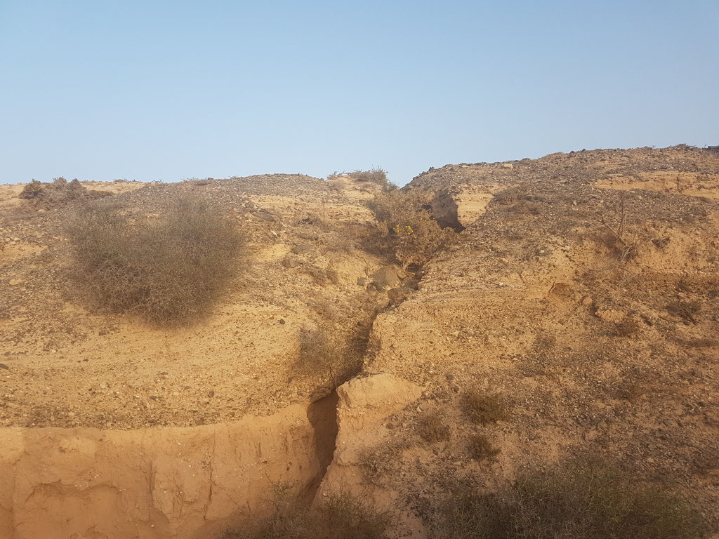
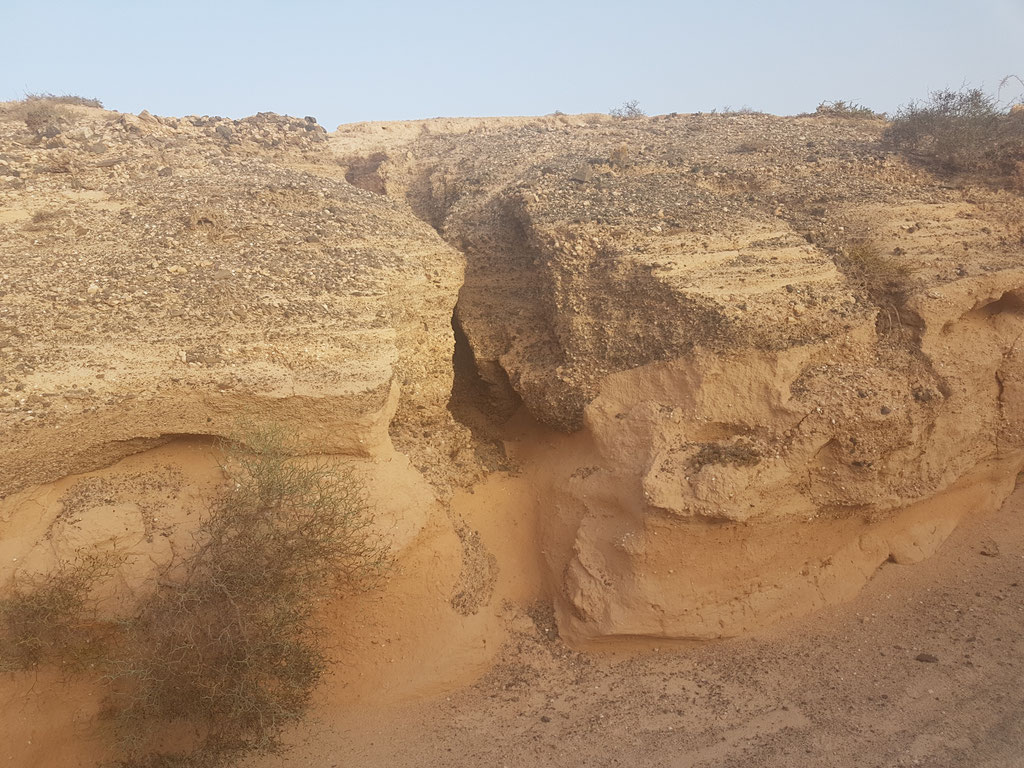
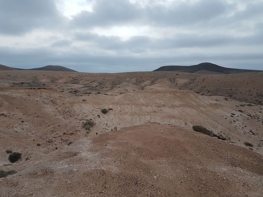
The path is getting narrow and the walls become higher
it's splitting like veins and you have to be Kind of an Acrobat sometimes to follow the little paths...
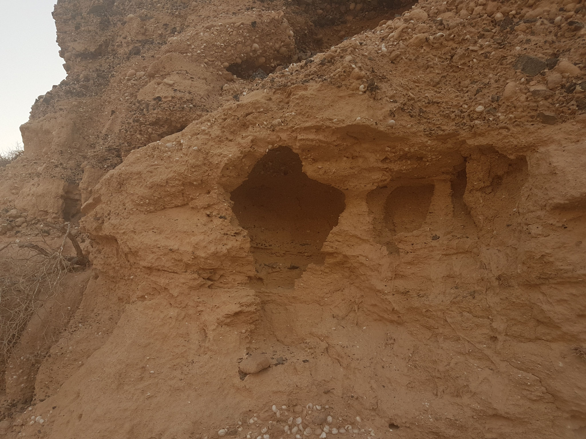
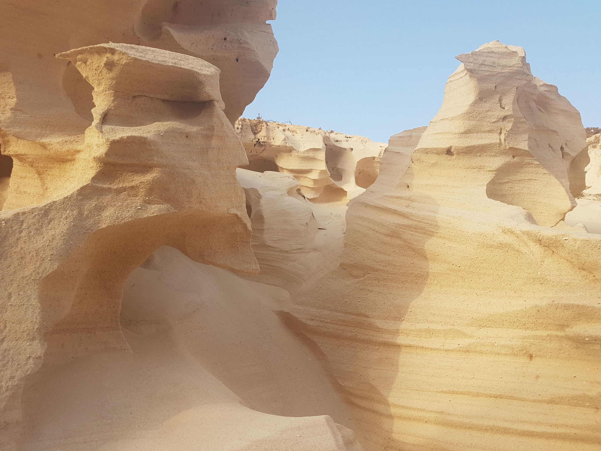
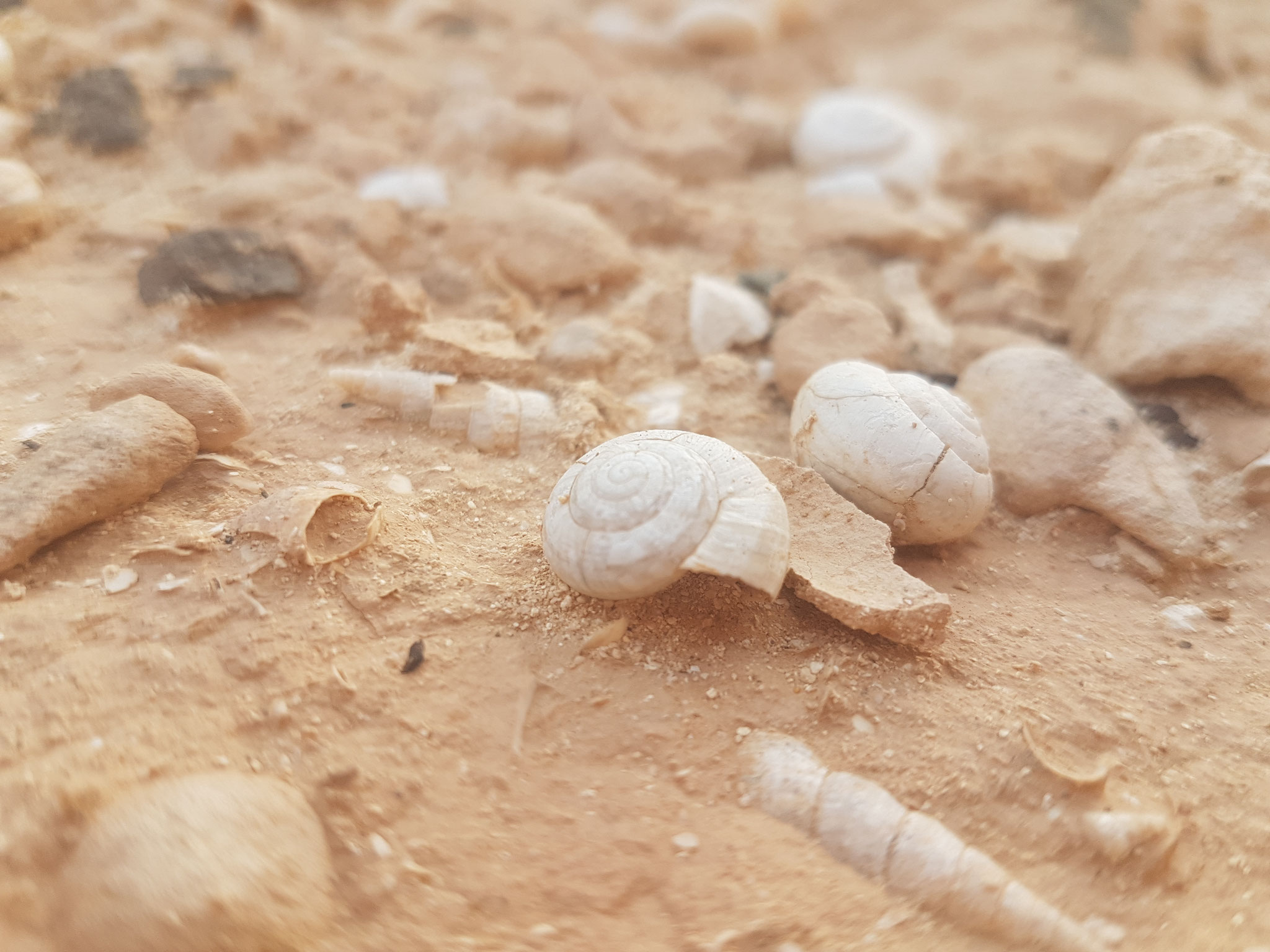
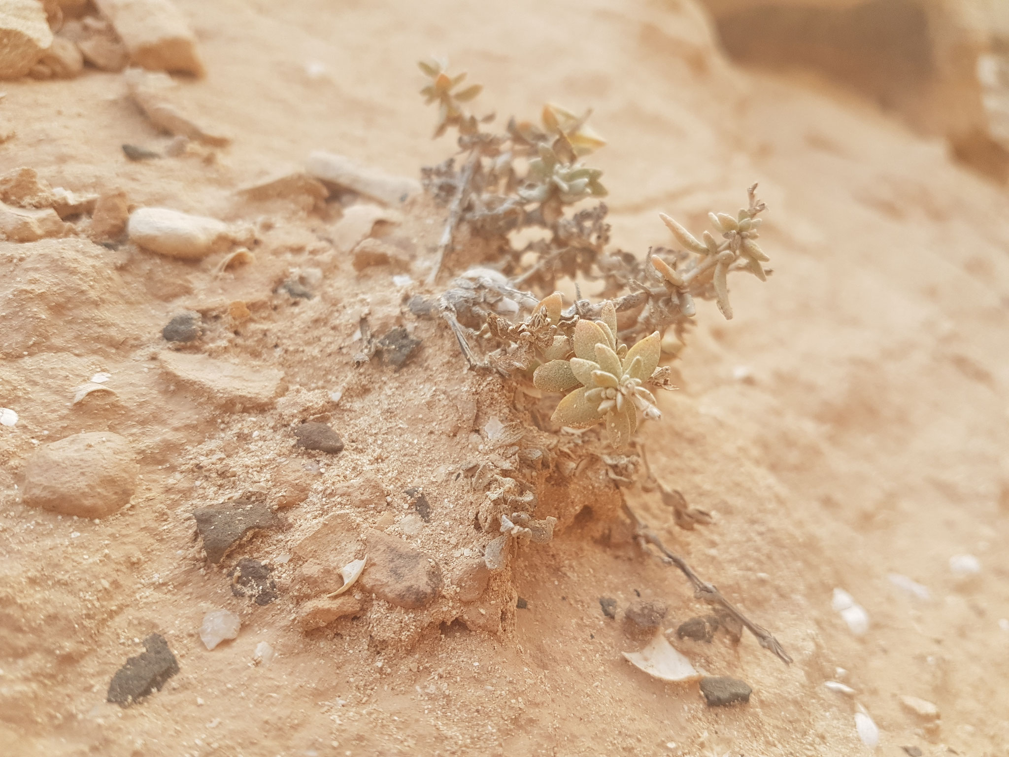
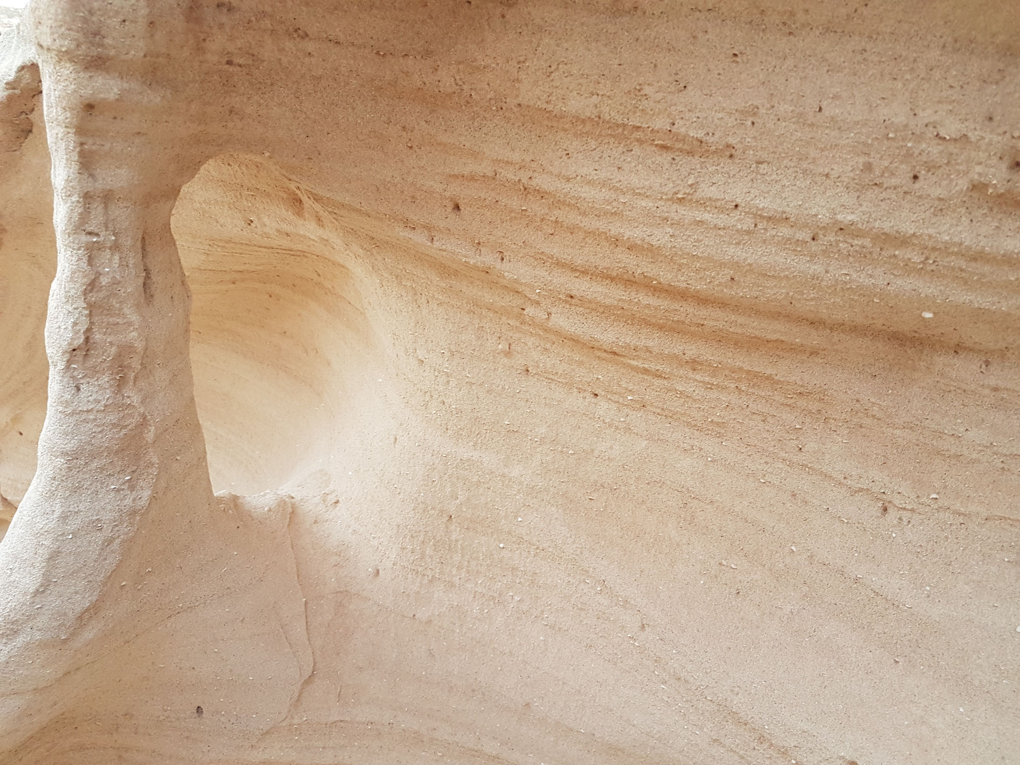
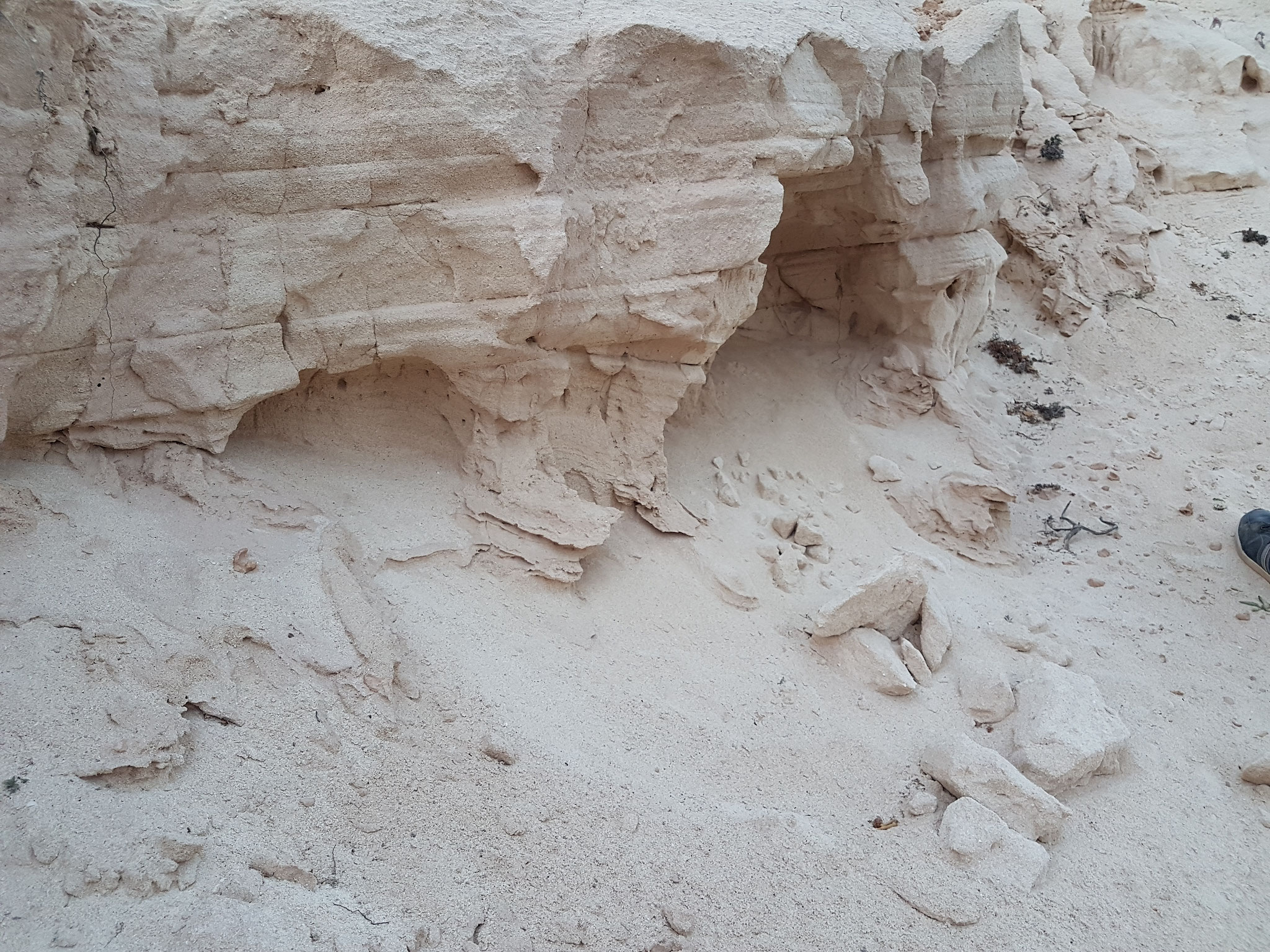
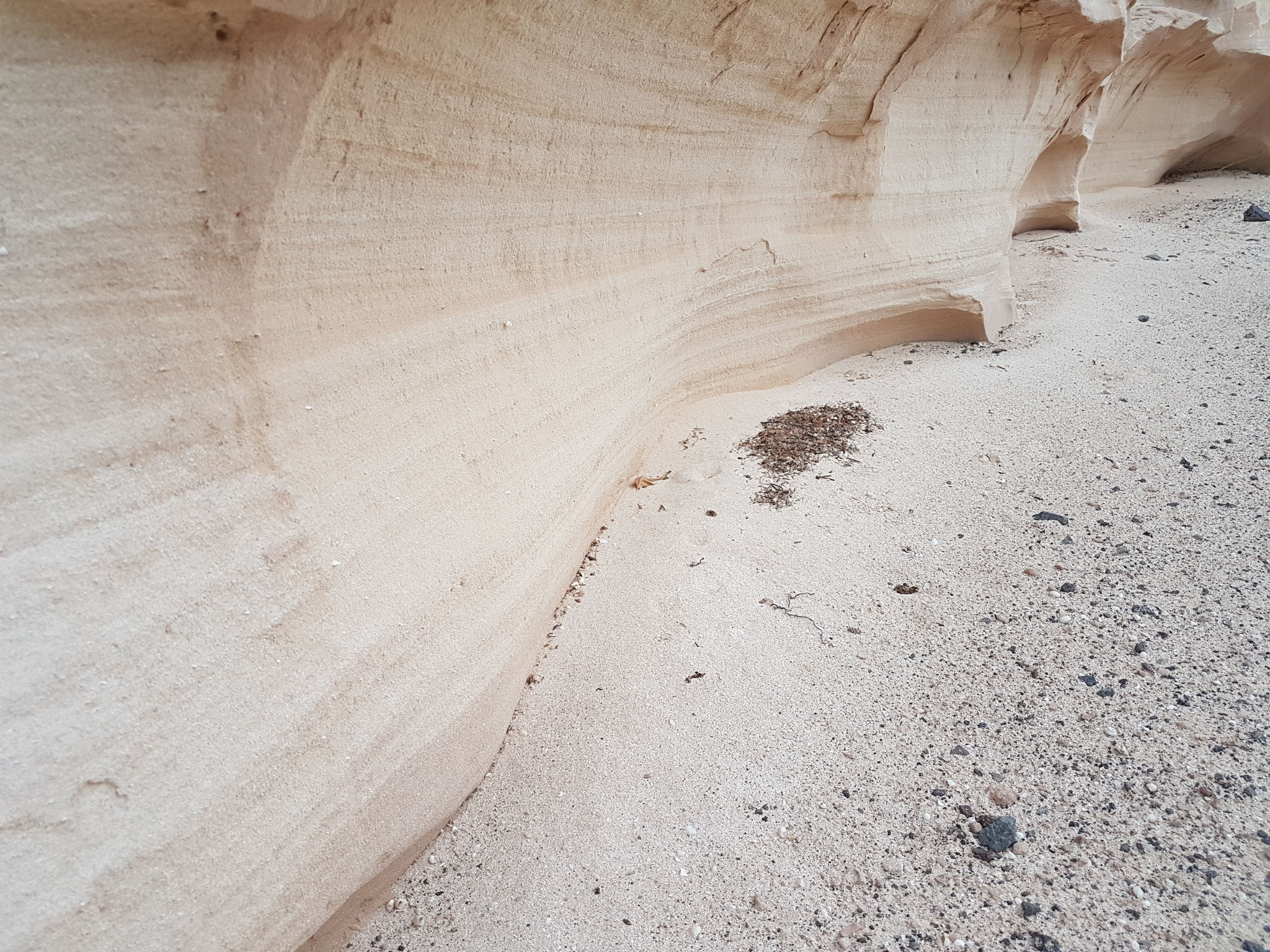
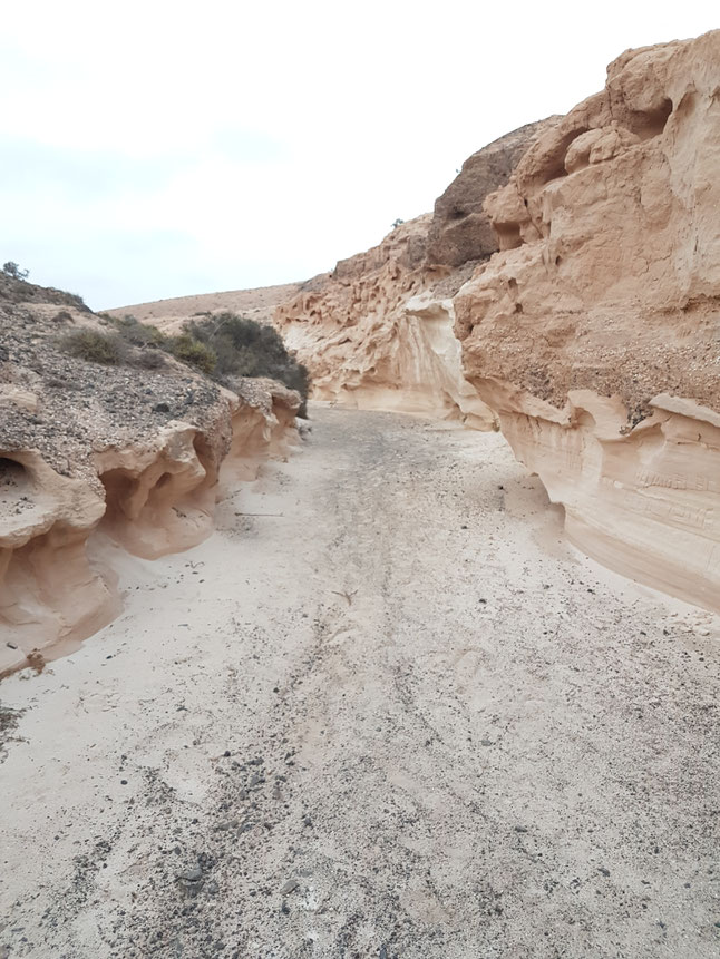
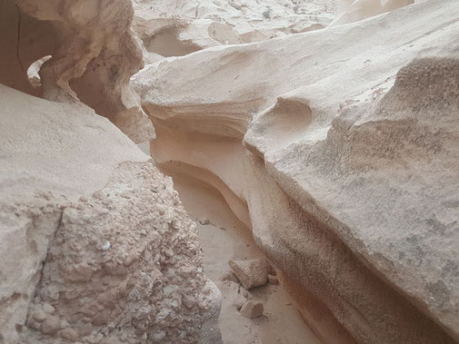
But what you get to see is worth it. Like on a different planet or at least a different continent. Sandfigures formed by the ocean and the wind thousands and thousands of years ago. Empty snail houses and Shells everywhere, but no animals - except small lizzards. And as usual: no humans!
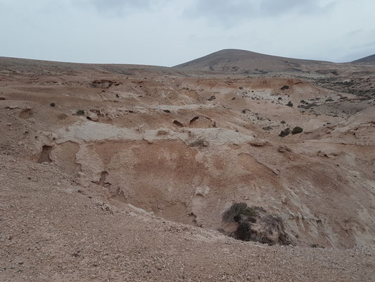
It's also nice to follow the small paths to their end and than climb them up - you get a great view over the area.
For users of GooglMaps: here you find the coordinates of the destination